Tag: roseberry topping
-
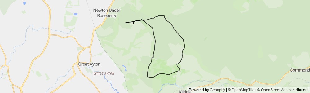
Captain Cook Loop
An 7 mile (11.3 km) hike around Captain Cooks / Roseberry Topping Loop where the average temperature was 14℃. We started at 10:19 on Wednesday…
-
Roseberry Topping
Yesterday me, becks and some friends decided to go for a nice refreshing walk up roseberry topping. Roseberry Topping is a distinctive hill on the…