Tag: hiking
-
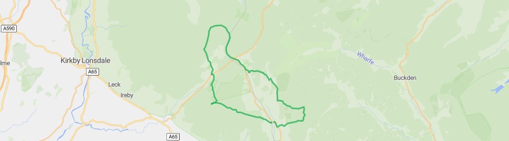
Yorkshire Peaks 2024
So Friday started with A 24.6 mile (39.6 km) hike around Yorkshire Three Peaks 2024 where the average temperature was 26℃. We started at 7:57…
-
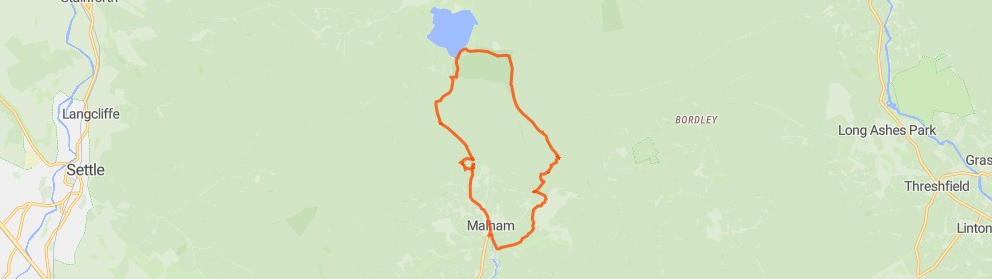
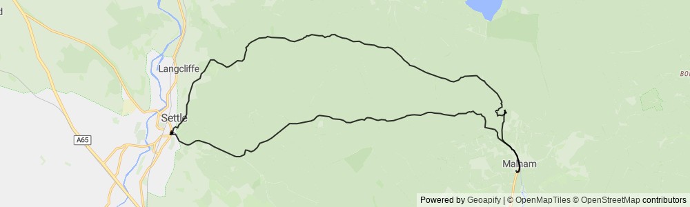
Malham Cove / Gordale Scar / Janets Foss Loop
So Friday started with a 7.9 mile (12.8 km) hike around Malham Cove / Gordale Scar / Janets Foss Loop where the average temperature was…
-
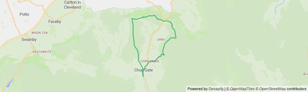
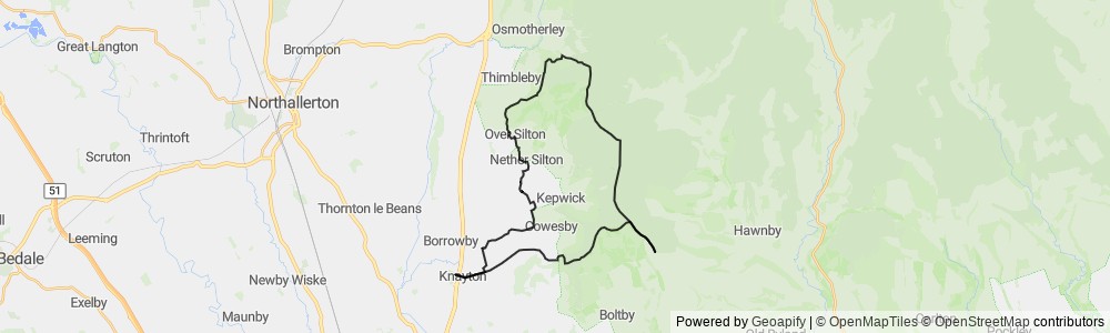
Hambleton Hike
An 8.5 mile (13.6 km) hike around Hambleton Hike where the average temperature was 21℃. We started at 9:14 on Sunday and altogether the hike…
-
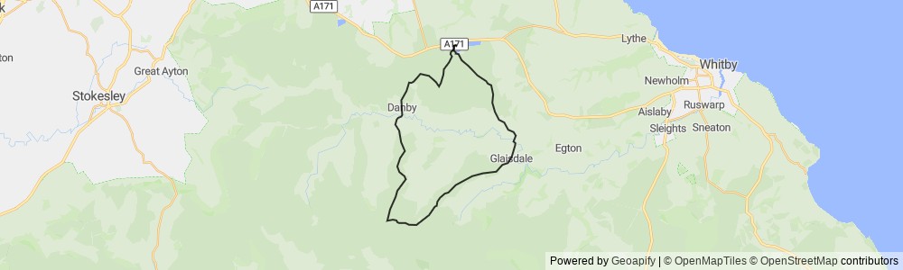
Cleveland Survival 2024
Today started with A 20.7 mile (33.3 km) hike around 2024 Cleveland Survival where the average temperature was 23℃. We started at 8:44 on Saturday…
-
Malham Cove Hike
An 14.6 mile (23.4 km) hike around Malham Cove Hike where the average temperature was 17℃. We started at 9:22 on Wednesday and altogether the…
-
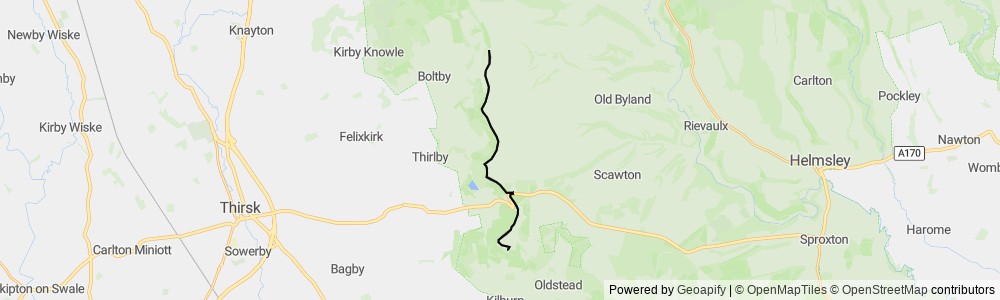
White Horse / Sutton Bank
An 10.1 mile (16.2 km) hike around White Horse / Sutton Bank where the average temperature was 11℃. We started at 10:13 on Saturday and…
-
2023 Cleveland Survival
An 20.8 mile (33.5 km) hike around 2023 Cleveland Survival where the average temperature was 9℃. We started at 8:34 on Saturday and altogether the…
-
Cleveland Survival 2022
An 18.6 mile (29.9 km) hike around Cleveland 2022 Survival where the average temperature was 7℃. We started at 8:36 on Saturday and altogether the…
-
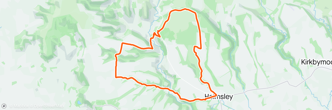
Keswick to Hawes End
An 3.5 mile (5.7 km) walk around Keswick to Hawes End where the average temperature was 17℃. We started at 12:33 on Friday and altogether…